
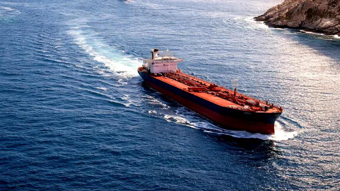
The Abu Dhabi National Oil Company confirmed a fuel leak from one of its vessels this Wednesday. Two Iranian drones struck the massive tanker last week, right off the coast of Oman. This dangerous incident highlights the growing environmental risks stemming from the ongoing war with Iran. The drone strike forced the ship to drop anchor, and a small amount of heavy engine fuel spilled directly into the ocean.
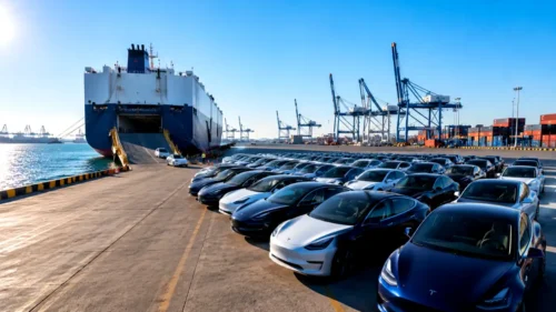
The sudden attack happens as Tehran effectively shuts down the Strait of Hormuz. This critical waterway normally handles roughly 20 percent of global oil shipments. Navigating this vital shipping corridor now presents a massive danger to any crew. Over 300 commercial vessels are currently trapped in the Persian Gulf, unable to find a safe route out. Shipping companies lose nearly $2 million every single day these ships remain idle in the water.
ADNOC Logistics and Services released a formal statement regarding the condition of their ship, the M.V. Barakah. A company spokesperson explained that the vessel remains securely anchored near the Omani coastline after taking direct hits from 2 explosive drones on May 4. The company works closely with local authorities and special environmental response teams. They want to manage the situation quickly and prevent any further damage to the local waters.
The spokesperson expressed regret over the environmental damage but did not specify the exact volume of the leaked fuel. They noted that the ship lost a small amount of bunker fuel, which powers the ship’s massive engines. Fortunately, the tanker carried zero commercial cargo at the time of the terrifying attack. The company also confirmed that all 25 crew members survived the ordeal without a single injury.
Reporters reached out to the Maritime Security Center in Oman for further details on the cleanup efforts. The security center did not immediately respond to questions about the regional emergency response. Meanwhile, experts used advanced technology to track the pollution from high above the Earth. The Copernicus Sentinel satellites captured clear aerial photographs of the damaged ship on May 7 and May 9.
These high-resolution satellite images revealed a distinct white streak floating in the water right behind the M.V. Barakah. Analysts at a group called TankerTrackers identified the exact ship anchored near the rocky Musandam Peninsula. Louis Goddard co-founded the climate and commodities consultancy Data Desk. He reviewed the pictures and stated the white trail definitely matches the visual characteristics of oil. He added that the substance clearly flows directly out of the damaged tanker.
Environmental scientists continue to monitor the waters around the Arabian Peninsula. Elizabeth C. Atwood works as a senior Earth observation scientist at the Plymouth Marine Laboratory. She told reporters that the dangerous fuel slick had completely vanished in the most recent satellite pictures. Strong ocean currents and intense sunlight likely broke down the thin layer of oil over the past 3 days.
This drone strike adds to a growing list of environmental concerns in the war-torn region. Just last week, separate satellite images captured another suspected oil spill. This massive stain covered nearly 40 square kilometers of open sea near Iran’s primary oil export hub, Kharg Island. Environmentalists immediately raised alarms over the massive size of the dark patch floating near the busy facility.
Iran’s top environmental official addressed the situation at Kharg Island during a press conference on Tuesday. The official completely denied that any local oil facilities leaked crude oil into the water. Instead, he claimed a passing tanker likely dumped heavily polluted wastewater directly into the ocean. Regardless of the exact source, these 2 incidents prove that the ongoing military conflict heavily damages the fragile marine ecosystem.